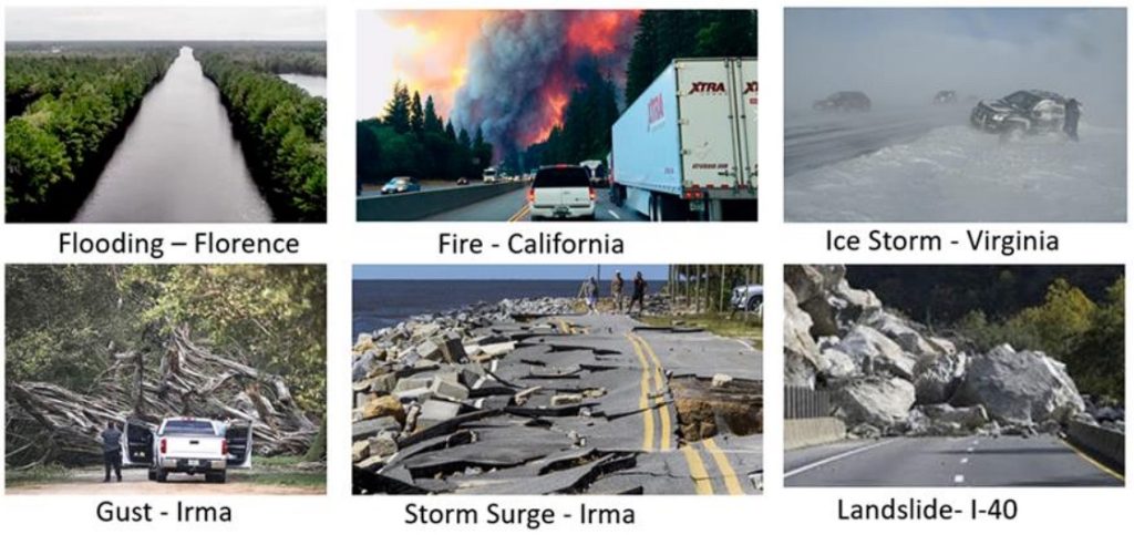
Extreme events such as hurricanes, floods, landslides, wildfires, and pandemics cause significant and even disastrous impact on transportation systems and human health. With its unique geography ranging from eastern coastal lowland to western mountain range, the state of North Carolina is especially vulnerable to these extreme events (e.g., more recently, earthquakes). These events often lead to road closures or travel delays in impacted regions, resulting in considerable economic and labor cost on, for example, the movement of freights due to re-routing operations.

In recent history, North Carolina has experienced a series of extreme natural events (e.g., hurricanes in the coastal plain, landslide in the mountain area) and more events are expected in the foreseeable future. Thus, it is important to study the potential impacts of natural and human disasters including the risks of road closures caused by these events on freight routing in NC.
This project proposes a comprehensive study on the risk and resiliency profiles on North Carolina public roads, specifically primary and secondary freight routes with the objective of establishing a cutting-edge geospatial platform for transportation data integration and modeling. The platform (identified as “Geo-FRIT”) provides a web-based geospatial analytics tool for quantifying freight risk and resilience in transportation.
Geo-FRIT will allow for data collection and sharing among DOT divisions, and on-demand risk-based routing analytics, as well as advanced freight route modeling using disaster data (through spatial simulation-driven scenario analysis). The proposed spatially explicit tool can quantify, optimize, and visualize these potential risks of primary and secondary freight routes and investigate the resiliency profiles of the NC freight transport system.